
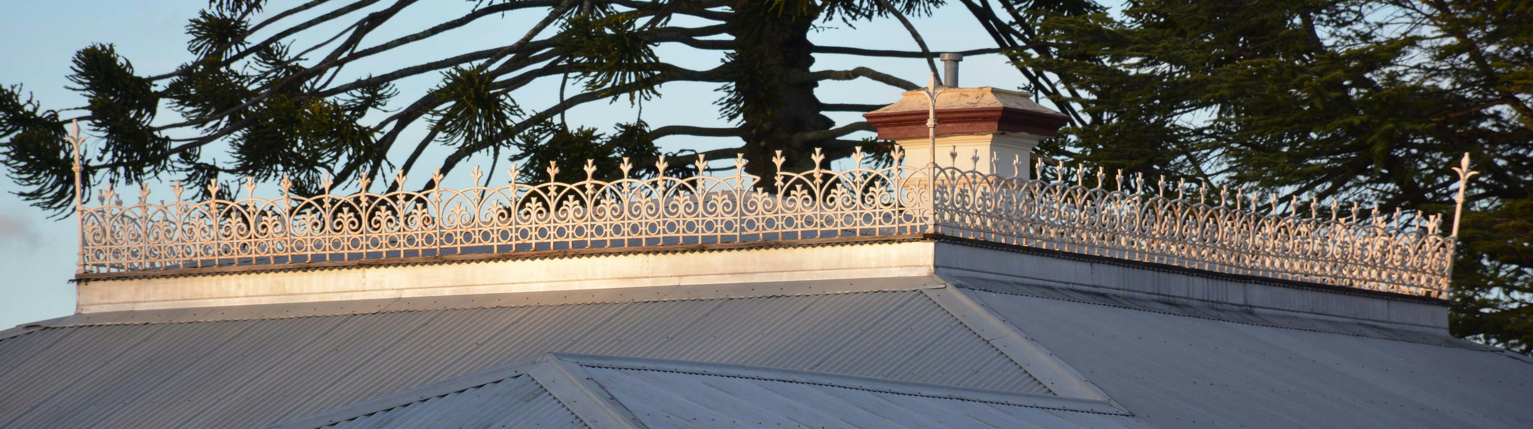
Orange's heritage: Have your say
Consultation has concluded
A review of the planning guidelines which protect heritage buildings and zones in Orange is recommending:
- an expansion of the city’s existing heritage zones
- the creation of three new heritage zones in areas which weren’t listed before
- adding an extra thirty-six individual places to be added to list of the local heritage-listed places.
The Heritage Study Review, was drafted after a range of submissions from the community along with members of the Council’s Cultural Heritage Committee and others who attended workshops last year.
On this site you can:
- read short articles about the study
- download the study document
- find theContinue reading
-
Proposal to expand Orange's heritage zones
Share Proposal to expand Orange's heritage zones on Facebook Share Proposal to expand Orange's heritage zones on X (formerly Twitter) Share Proposal to expand Orange's heritage zones on Linkedin Email Proposal to expand Orange's heritage zones linkConsultation has concludedA review of the planning guidelines which protect heritage buildings and zones in Orange is recommending:
- an expansion of the city’s existing heritage zones
- the creation of three new heritage zones in areas which weren’t listed before
- adding an extra thirty-six individual houses to be added to list of the local heritage-listed homes.
Orange Mayor Reg Kidd said that it’s important for local residents to be aware of the proposed changes to Orange’s heritage conservation arrangements.
“Orange has a brilliant collection of heritage houses and this Heritage Study is part of the foundations of our local planning controls. These areContinue reading
-
Dalton Heritage Zone extended
Share Dalton Heritage Zone extended on Facebook Share Dalton Heritage Zone extended on X (formerly Twitter) Share Dalton Heritage Zone extended on Linkedin Email Dalton Heritage Zone extended linkConsultation has concludedDalton is the proposed new name for the former Central Heritage conservation area, with two minor extensions.
DALTON ZONE WESTERN SIDE: One extension is a series of properties on the western side of Woodward St, between Moulder and Kite Streets.
DALTON ZONE EASTERN SIDE: One extension is an area to the south-east corner, formed by four blocks of properties fronting Moulder Street, Lords Place, McNamara Street, Kite Street and Peisley Street.
The Dalton Heritage conservation area is based on the original “square mile” town layout in a grid pattern. This area includes a high concentration of sites of heritage significanceContinue reading
-
New Bletchington zone proposed
Share New Bletchington zone proposed on Facebook Share New Bletchington zone proposed on X (formerly Twitter) Share New Bletchington zone proposed on Linkedin Email New Bletchington zone proposed linkConsultation has concludedThe Bletchington Heritage conservation area is a new area that is an extension north from the Dalton HCA. This includes an area north of Prince Street and is predominantly a projection of the eastern half of the Dalton HCA towards the north focussed on the area between Hill and Peisley Streets.
BLETCHINGTON ZONE: Bletchington is a new heritage conservation area, consisting of properties north of Prince Street, up to Margaret Street, primarily between Clinton and Peisley Streets.
Prince Street north has several excellent examples of important mid-Victorian Italianate residences and some that need some work to bring out their bestContinue reading
-
New heritage zone around Blackmans Swamp Creek
Share New heritage zone around Blackmans Swamp Creek on Facebook Share New heritage zone around Blackmans Swamp Creek on X (formerly Twitter) Share New heritage zone around Blackmans Swamp Creek on Linkedin Email New heritage zone around Blackmans Swamp Creek linkConsultation has concludedThe proposed Blackmans Swamp Heritage conservation area is the southern extension from the Orange Central HCA.
BLACKMANS SWAMP: A new heritage conservation area, it is centred on the green reserves and park spaces in the vicinity of National Avenue and Warrendine Street, between Woodward Street and Peisley Street. In the southeast corner, it extends to the rear of properties located on the south side of Franklin Road.
This area was not an estate that was released, but includes the areas south of Moulder Street that were included in the original square mile but have previously been excluded from the HCA.
-
East Orange zone boundaries changed
Share East Orange zone boundaries changed on Facebook Share East Orange zone boundaries changed on X (formerly Twitter) Share East Orange zone boundaries changed on Linkedin Email East Orange zone boundaries changed linkConsultation has concludedThis area was called the 'South East Heritage conservation area' in the 1986 Heritage Study, and the 'Glenroi Heritage conservation area'. It is now proposed to limit the Glenroi Duration Cottages HCA to the suburb of Glenroi to the east of East Orange Creek, as this area has a different history to the area of East Orange.
EAST ORANGE: The northern portion of this existing heritage conservation area is bounded by Endsleigh Avenue, Kite Street and McLachlan Street, and is currently the Glenroi Heritage conservation area. The extension encompasses the southern portion of Endsleigh Avenue, Churchill Avenue and the propertiesContinue reading
-
New zone around East Orange's Newman Park
Share New zone around East Orange's Newman Park on Facebook Share New zone around East Orange's Newman Park on X (formerly Twitter) Share New zone around East Orange's Newman Park on Linkedin Email New zone around East Orange's Newman Park linkConsultation has concludedA proposed new heritage zone is located in an area within walking distance of Newman Park in East Orange.
NEWMAN PARK: A proposed new heritage conservation area is located north of East Orange, located between McLachlan Street, Dalton Street and Spring Street.
Newman Park was proclaimed in 1899 as part of the green space in the new East Orange municipality. Bylaws were gazetted in 1901. East Orange was proclaimed a town in 1885, and iot includes the East Orange HCA, the Bowen HCA and the Newman Park HCA.
The East Orange Municipality was merged with Orange in 1912. Newman ParkContinue reading
-
Bowen zone proposed, new name added
Share Bowen zone proposed, new name added on Facebook Share Bowen zone proposed, new name added on X (formerly Twitter) Share Bowen zone proposed, new name added on Linkedin Email Bowen zone proposed, new name added linkConsultation has concludedPreviously known as the 'East Orange Heritage conservation area', we have renamed this area the 'Bowen Heritage conservation area' after the suburb name and its famous forebear.
BOWEN ZONE: This heritage conservation area remains unchanged from the portion located north-east of Bathurst Road and centred on Dora and Summer Streets. The name changes from East Orange to Bowen in order to distinguish it from the area on the south side of Bathurst Road.
The Bowen heritage conservation (HCA) zone is centred around the small nucleus of the former Municipal Council Chambers, Post Office, former Band Hall, and shops of theContinue reading
-
Boundaries change for Duration Cottage zone
Share Boundaries change for Duration Cottage zone on Facebook Share Boundaries change for Duration Cottage zone on X (formerly Twitter) Share Boundaries change for Duration Cottage zone on Linkedin Email Boundaries change for Duration Cottage zone linkConsultation has concludedThe proposed Duration Cottage zone includes some changes to previous arrangements in East Orange.
DURATION COTTAGES: The area remains similar to the current listing, with two small extensions, to include Church property on Glenroi Avenue at the Churchill Avenue corner, and an extension south to include properties and the streetscape on Amber Street.
During the Second World War Orange was involved in the war effort through the production of munitions.
The Small Arms Factory was built for this purpose, and would become the Emco factory after the war.
Munitions workers were housed in what was called 'Duration Cottages' throughout theContinue reading
-
Homes proposed for heritage listing
Share Homes proposed for heritage listing on Facebook Share Homes proposed for heritage listing on X (formerly Twitter) Share Homes proposed for heritage listing on Linkedin Email Homes proposed for heritage listing linkConsultation has concludedThe following houses have been reviewed, assessed and nominated for listing on Schedule 5 of the Orange Local Environmental Plan (LEP).
They have been either nominated during the study period, revealed in the period since the previous study and/or revealed during the fieldwork associated with the tasks.
- 117 Sampson Street
- 49 Prince Street
- 139 Margaret Street
- 110 Matthews Avenue 125 Prince Street
- 125 Dalton Street
- 112 Dalton Street
- 121 Gardiner Road
- 123 Gardiner Road
- 102 Gardiner Road
- 104 Gardiner Road
- 106 Gardiner Road
- 108 Gardiner Road
- 21 Spring Street
- 23 Spring Street
- 25 Spring Street
- 105 Spring Street
- 5 HawkinsContinue reading
-
Further investigation for Huntley houses
Share Further investigation for Huntley houses on Facebook Share Further investigation for Huntley houses on X (formerly Twitter) Share Further investigation for Huntley houses on Linkedin Email Further investigation for Huntley houses linkConsultation has concludedThe following places are located in Huntley.
They are outlined in Red on the map and have been nominated based on general community knowledge and local history.
Many are distant from the public road and therefore the materials, details and condition are not evident. These properties have been nominated based on this limited information.
A more detailed site inspection is required to assess the significance out of courtesy to the site owners.
This will be carried out by appointment and arranged in the forthcoming period following the initial report. A further detailed heritage assessment of their significance will then beContinue reading


